Possible blizzard-like winter storm targets KC area. Here’s timing, snowfall predictions

- আপডেট সময়: রবিবার, ৫ জানুয়ারি, ২০২৫
- ৮ টাইম ভিউ

[ad_1]
A major winter storm is expected to unleash its fury on the Kansas City area this weekend, bringing freezing rain or drizzle and sleet before transitioning to heavy snow and possibly blizzard-like conditions, a meteorologist with the National Weather Service said.
The storm is expected to bring the metro its biggest snowfall in recent years, if not near record-setting snow.
“As for the Kansas City metro, we’re looking at anywhere from 7 to 13 inches,” said Randall Collier, a meteorologist with the National Weather Service in Pleasant Hill.
Kansas City’s record single day of snowfall is 16.1 inches, set on March 23, 1912.
It is extremely rare for the metro to have more than 10 inches of snow on a single day, occurring only seven times during its 137 years of recorded weather history, the weather service said on X, formerly Twitter. The record snowfall for Sunday is 10.1 inches, set in 1962.
The setup of the storm is being compared to the post-Thanksgiving 2018 blizzard-like winter storm that made a mess of highways across Kansas and Missouri, plunged thousands into darkness, and shut down Kansas City International Airport, stranding many holiday weekend travelers.
This post-holiday storm could be fairly similar to that storm. The difference is the freezing rain and sleet that will precede the snow in some areas, Collier said.
“It’s not expected to be, right now, as much of just a straight blizzard,” said Collier, who added the weather will be more variable early on. “I think this will probably be a little bit less widespread than maybe the blizzard of 2018.”
Winter warning timing changed
Due to the storm’s timing, The weather service adjusted the winter storm warning for Kansas City earlier. The warning is now in effect from noon Saturday until 3 a.m. Monday.
Collier said that the timing was adjusted because of a band of sleet and freezing rain, and maybe even a bit of snow is expected to move into the area between Interstate 70 and U.S. 36 highway in the afternoon.
“At least for extremely eastern Kansas and western Missouri, we’re expecting it to start around this afternoon,” said Collier.
In the Kansas City area, that could be as early as sometime between noon and 3 p.m., he said.
“We’re expected to kind of ramp up a little bit slowly and move a little further east. Then by tonight, we’re expecting to just be fairly widespread across the northern half of Missouri and the eastern parts of Kansas.”
Sleet and freezing drizzle are expected to fully transition to snow Sunday morning and afternoon across the region.
“By Sunday evening, you start to see a little bit more of those more rapid snowfall rates,” Collier said.
Winds will also pick up on Sunday, so there’s a chance to see blizzard-like conditions. Collier said the strong, gusty winds and snow will continue into the night and may linger into early Monday morning.

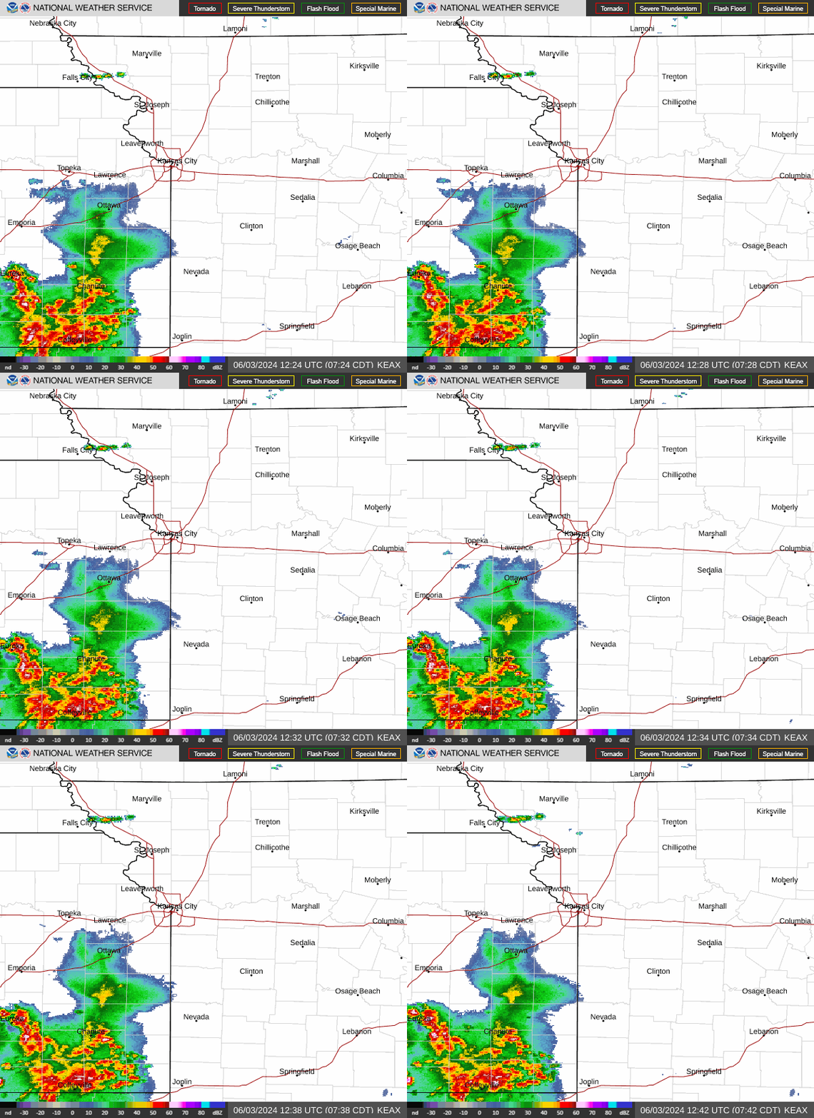
Local Radar Image
Will snow be on the ground Sunday morning?
Those waking up without snow shouldn’t celebrate prematurely, thinking the storm might have missed them. It depends where you are, Collier said.
“If you’re in northern parts of Missouri, kind of along the (U.S. 36) highway corridor, you definitely should see snow,” Collier said. “If you’re like south of (I-70), you may have some snow accumulating already, but a lot of it will be more so ice and sleet.”
The bulk of the snow is expected to fall during the day on Sunday.
Snowfall totals are expected to be 8 to 13 inches along and north of I-70, with heavier amounts expected around the St. Joseph area, where 10 to 17 inches of snow will be possible. According to the weather service, areas south of I-70 will see much less, between 3 and 8 inches of snow.
As for accumulating ice, between .1 and .4 of an inch of ice is likely along and south of U.S. 50 highway in south Kansas City.
The area with the greatest uncertainty as to snowfall totals is along I-70, including the Kansas City metro, where warm air aloft could determine the amount of snow.
“That’s kind of like a little bit of a variable how far north, or even how far south, that warm air extends,” Collier said. “That will determine the kind of precip that we get — whether it’ll be a little bit more on the snow side or a little bit more on the sleet side.”
However, there is little doubt that the storm will not materialize in the Kansas City area.
“I don’t think this storm is going to miss us,” Collier said.
The forecast models, weather patterns, and even the comparison to the post-Thanksgiving storm of 2018 indicate that things have aligned with where they are confident in the forecast.
Bitterly cold weather will move into the area in the wake of the storm system. Overnight temperatures will plunge below zero, with wind chill values close to -15 degrees each morning through Thursday.
Because of the storm, the weather service advises that Sunday travel will be difficult, if not impossible.
“Stay off the roads if you can,” Collier said. “Stay hydrated, stay indoors, maybe pack an emergency kit, potentially prepare for power outages and yeah, just be safe.”
A live data feed from the National Weather Service containing official weather warnings, watches, and advisory statements. Tap warning areas for more details. Sources: NOAA, National Weather Service, NOAA GeoPlatform and Esri.
[ad_2]
Source link

Man charged with assaulting partner before her death in hospital allegedly used ‘axe handle’: court


